Why you shouldn't use OSM's "Standard" layer in your map
Posted by SomeoneElse on 17 May 2024 in English.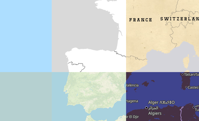
Let’s imagine that you’re a pizza delivery company, and you’ve got an app that shows where you are, where your customers are and where a delivery person is between the two. Obviously you need some sort of map that shows the three in context. You can’t use Google Maps for cost or other reasons, and whatever framework your using will accept raster tiles in the almost universal format https://server/Z/X/Y.png, so why not use OpenStreetMap’s standard layer? After all, it’s free!
Well:
-
It’s not free, in the sense of free laid out in the tile usage policy. That doesn’t mean that OSM doesn’t tolerate or even encourage some use of those tiles, but it does mean that you have no service level agreement - you probably won’t even get warned if your use is prevented at some point in the future.
-
It’s not a great background map. The “OSM Carto” style tries to do two things at once - it tries to provide feedback to OSM mappers and it tries to be a “nice” standalone map. Both of those make its use as a background less than ideal. To see some alternative map styles (some of which are designed as background maps) have a look at openwhatevermap.xyz.
-
It’s updated on the fly. While OpenStreetMap gets surprisingly little vandalism considering the scale and visibility of the project, it does get some; and any map that is instantly updated will show what there is until the vandalism is fixed both in both the map data and the server-side infrastructure. Your pizza delivery company probably only needs to process updates to a map layer for a small area and when new roads and new housing estates are built; perhaps once every few months or so.
So what can you do?
It’s important to remember that OpenStreetMap’s Data is still free. You’re welcome to use that, and plenty of companies are willing to help.
If you can’t afford that, and can only spare about the price of an average-sized pizza a month, you can do it yourself. Deploying a map as described on this page could cost under €10 per month. If you want to run occasional updates, that’s documented too - just run it whenever it’s convenient for you.
– Andy
(a member of the DWG, and also a maintainer of the “switch2osm” site, but writing this in an entirely personal capacity)
The screenshot at the top is from openwhatevermap - click through from there to see the details of each style and terms of use.
Discussion
Comment from Spiekerooger on 17 May 2024 at 14:40
Actually the osm-carto style is one of most sophisticated map styles out there. So I would not define the “Standard” layer a bad solution, esp. since it is wildly recognized, known and an OpenStreetMap household name. (It is only not a suitable basemap if you add a lot of data on top as the style has lots of useful OSM data based information baked into the map style already).
It is just a bad idea - as rightly stated by you - to use the tiles from tile.openstreetmap.org instead of either self-rendered, data-monitored tiles or one of the third party solutions out there.
But yes, I’m probably biased as someone who provides tiles as well (where some of those tiles produced closely resemble the osm-carto style, just with extras like different language labels or retina support).
Comment from SomeoneElse on 17 May 2024 at 20:24
Indeed - it’s designed at least partly as a mapper feedback layer. That’s one reason why it’s a particularly poor choice for our imaginary pizza delivery company - they just want something that shows roads, conurbations and maybe a few other bits and pieces. It doesn’t need to show shops of offices, or the type of farmland, or museums, or…